
Ah Mexico, how I would like to go back! We walked to one of the other resorts one day and there was a huge area called Homestead. Lots of stores, cafes, and an entertainment venue. It was very colourful and fun to walk around and go in the different shops . There was so many vendors just at the entrance selling everything you could imagine. I am not a souvenir shopper so we did not buy anything but some of the art pieces and shawls were lovely.
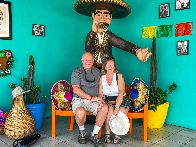
The photo above, of Clint and I was taken in this part of the resort.
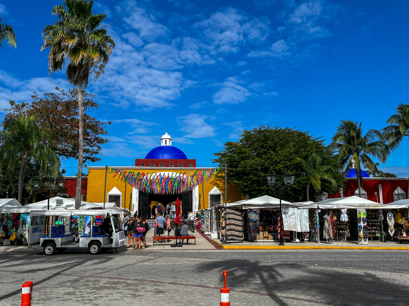
Entrance 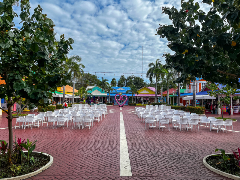
Inside 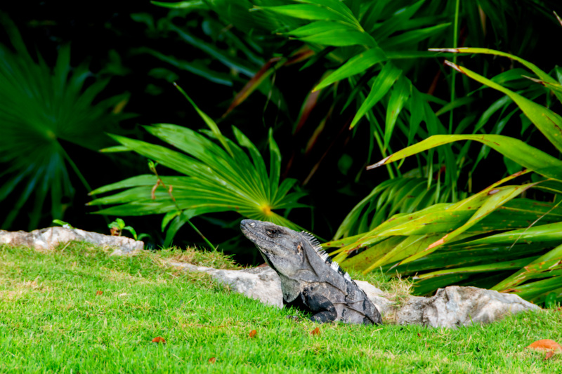
An iguana we spotted on our walk to Homestead
The group we were with had a cocktail event one evening down at the beach. We were only there maybe 20 minutes and a torrential downpour happened. The only time it rained in two weeks. We ran into a building for cover but all the appetizers were drowned and the evening kind of ended! We were all to wear Canada themed outfits or at least red/white. We also had a farewell dinner the night before they all flew back to Toronto. That was inside though so we were safe from the weather !
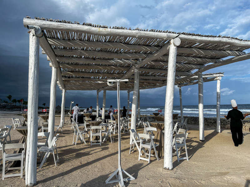
Our lovely outdoor event space until the storm hit 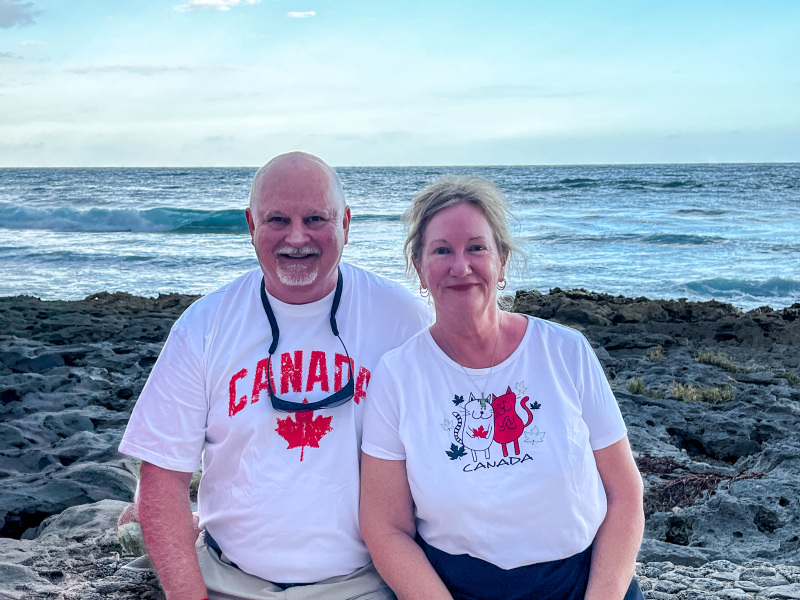
Wearing our Canada shirts!
Some more photos of the resort. This resort was being taken over by Hyatt later in March.
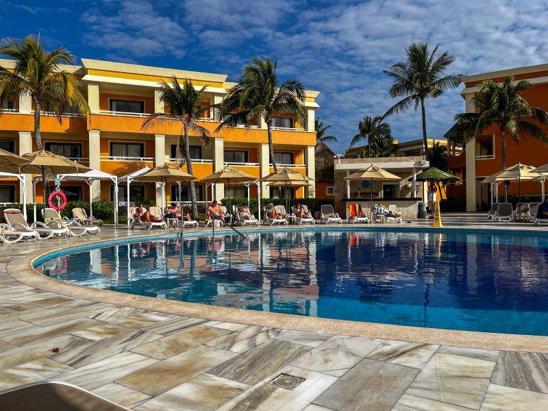
Another view of the Infinity pool 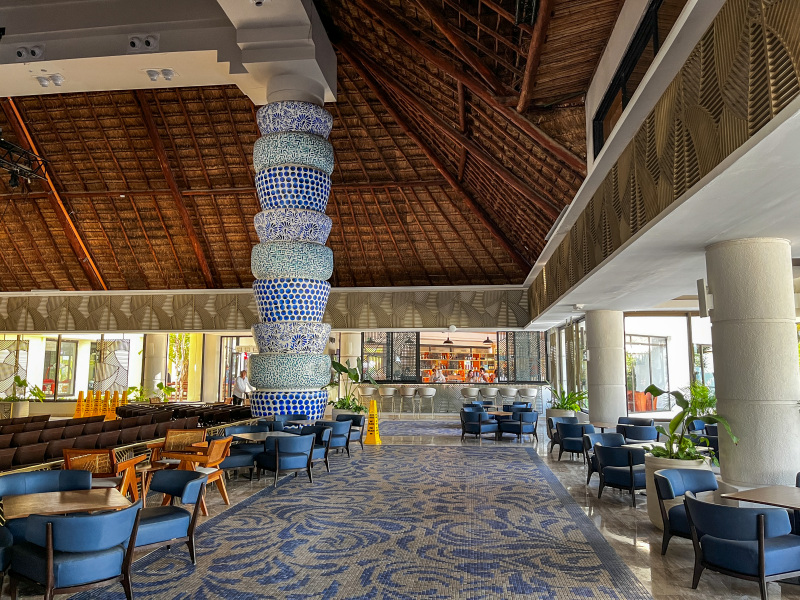
Entertainment room at our resort 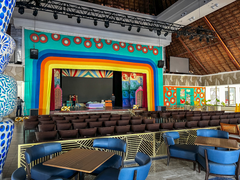
Stage 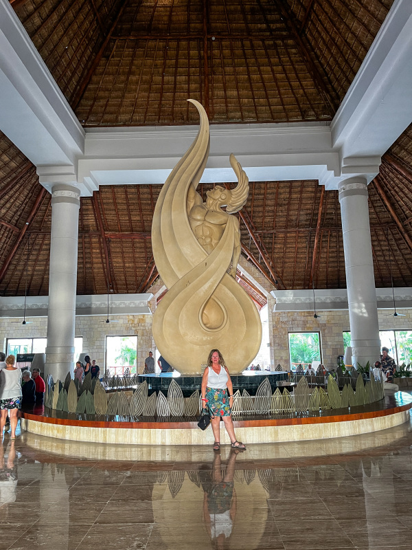
In our lobby 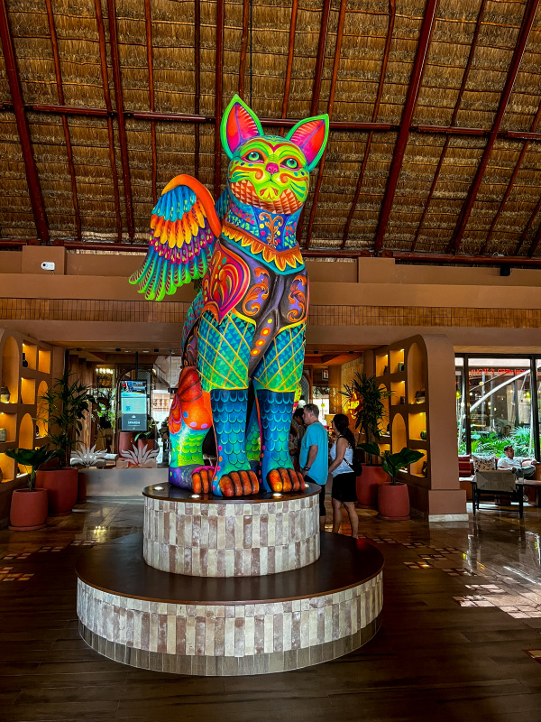
Tequila Resort lobby 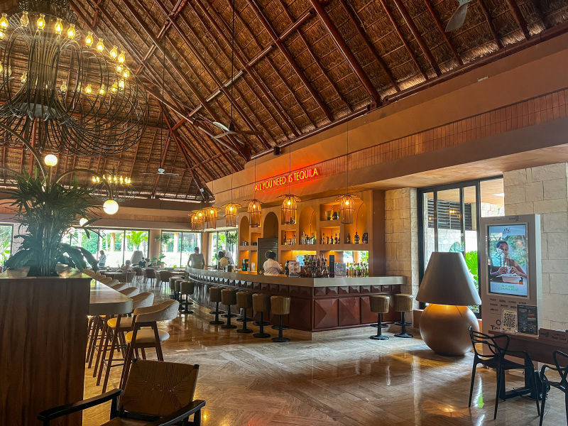
Tequila resort lobby bar 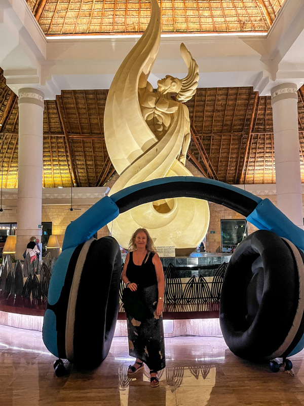
Me at the Silent Disco night 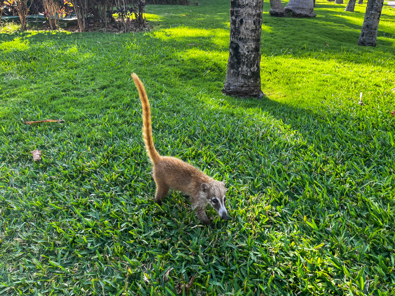
Coati on the loose ! 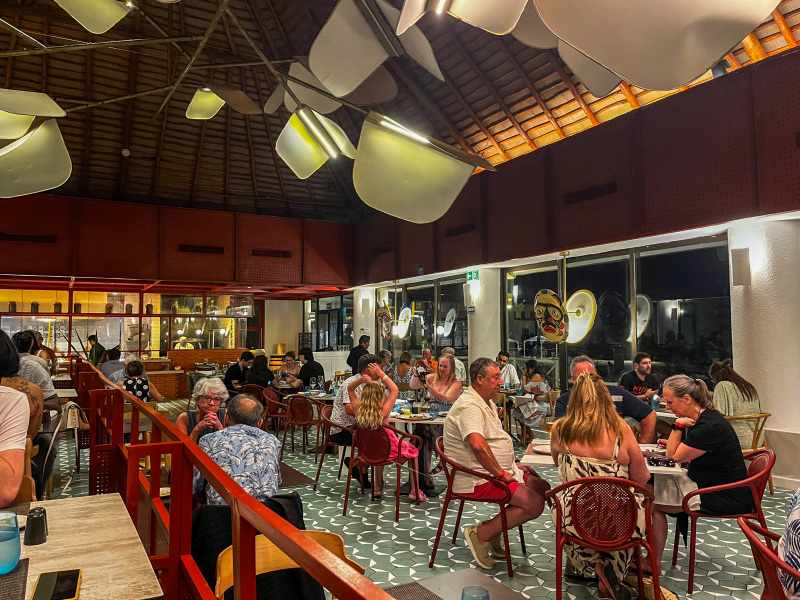
Italian restaurant 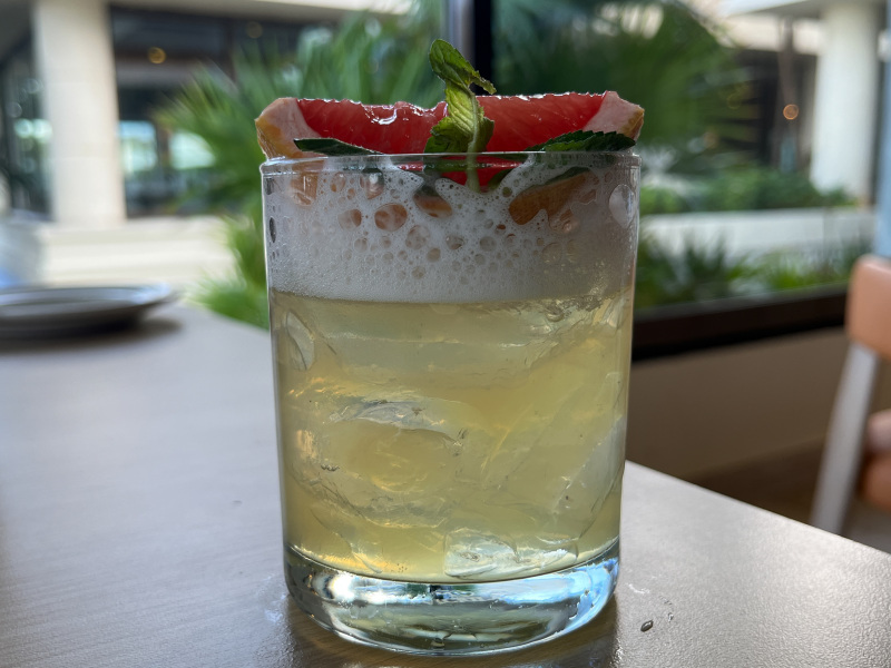
A really good drink and I don’t remember the name 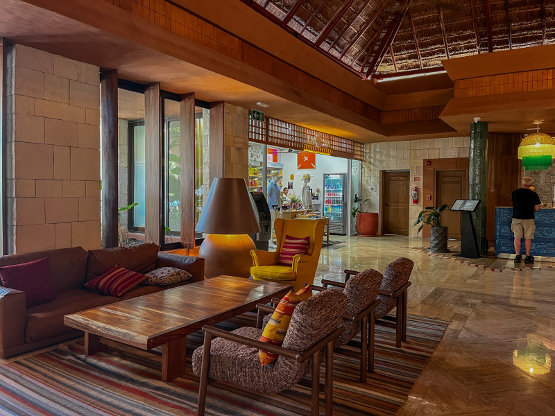
Lobby of one of the resorts 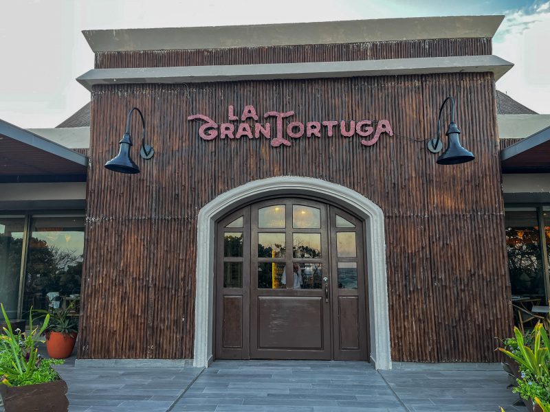
One of the restaurants we ate at 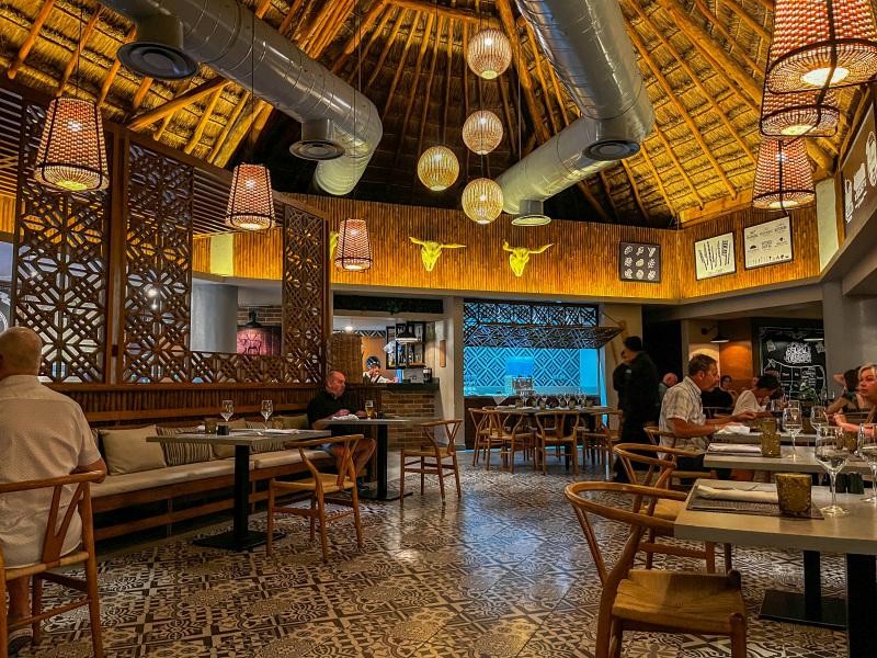
Inside the Grand Tortuga 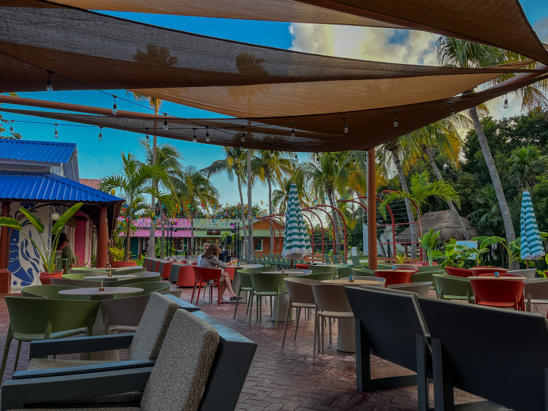
Outside at Tequila Resort 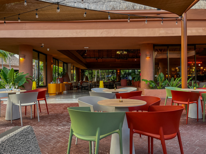
Outside at Tequila Resort 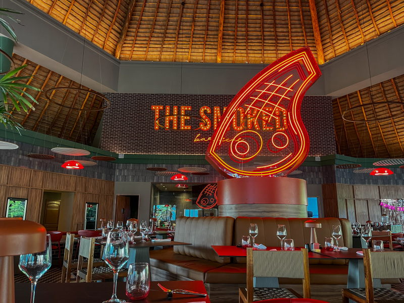
The Smoke Restaurant 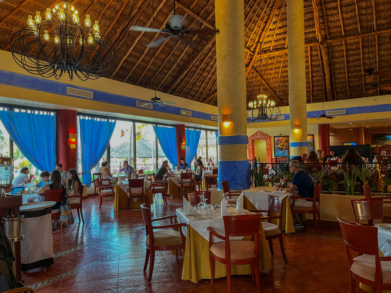
Inside the Smoke restaurant 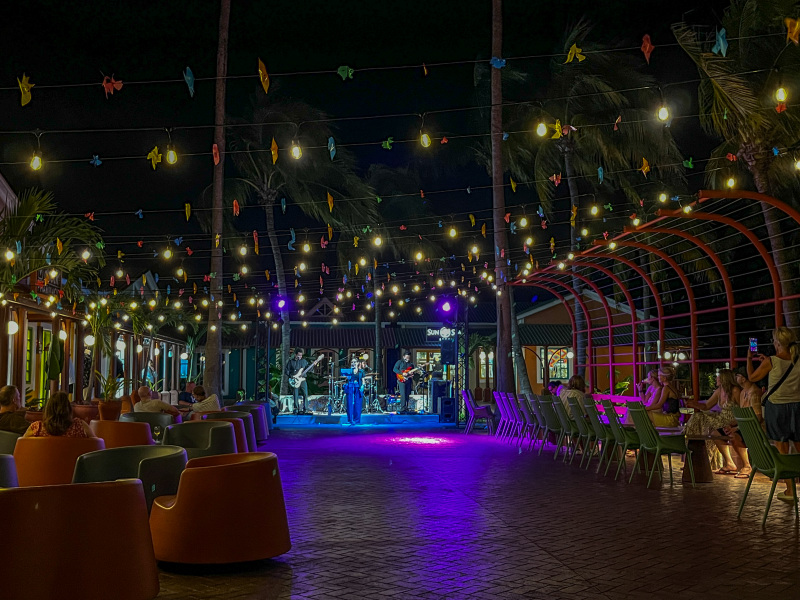
Entertainment in the evening at the Tequila Resort
It was a great spot but we normally don’t go to the same places twice. There are too many other places we haven’t been to. We will probably go with MIX97 beach party again in 2027, rumor has it we might go to Jamaica so we’ll see !
